

Méribel piste map: how to read it, and six routes from Mottaret

The official Méribel piste map is free: open the interactive ski map on meribel.net, download the Méribel piste map PDF published by Les 3 Vallées, or pick up a paper copy at any lift pass office. This guide explains how to read the map, gives the key figures for 2026-2027 and sets out six routes from the Hameau in Méribel-Mottaret, from first turns on the greens to a full day in Val Thorens.
In short
- Official maps: interactive on meribel.net, PDFs on les3vallees.com, the 3 Vallées app, and free paper copies at ticket and tourist offices.
- The Méribel valley has 150 km of pistes and 42 lifts, from about 1,100 m at Les Allues to 2,952 m at Mont Vallon. Les 3 Vallées add up to 600 km.
- Mottaret sits at the head of the valley, by the links to Val Thorens (Côte Brune), Les Menuires (Bouquetin, Roc de Tougne) and Courchevel (Pas du Lac).
- From the Hameau, beginners have the Yéti Park and the long green Truite; good skiers have Mont Vallon, Bartavelle and the Saulire couloirs.
- Season: 5 December 2026 to 18 April 2027. On a 3 Vallées day, be on your return lift by about 15:30.
Updated October 2026.
Where to find the official Méribel piste map
- Interactive. Méribel Tourisme embeds it on its slopes page, next to the live status of every lift and run. It runs on Itinemap, also available at m.itinemap.com.
- PDF. The Les 3 Vallées map page offers the Méribel PDF and the 3 Vallées PDF. Méribel Tourisme’s documents page adds the Easy Rider map, which shows the easy routes covered by the beginners’ Mini Pass.
- App. The free Les 3 Vallées app now includes Itinemap, a route planner that suggests an itinerary for your level, based on what is open that day.
- Paper. Free at lift pass and tourist offices. Les 3 Vallées itself recommends carrying one: phone batteries die fast in the cold, and a folded map is easier to handle on a chairlift.
How to read the Méribel ski map
The map is drawn looking up the valley from Brides-les-Bains. The Allues valley, which everyone calls Méribel, climbs from north to south: Les Allues (1,100 m), Méribel Village (1,400 m), Méribel Centre (1,450 m) and, at the far end, Méribel-Mottaret (1,750 m). Courchevel lies behind the left-hand ridge, the Belleville valley (Les Menuires, Saint-Martin-de-Belleville, Val Thorens) behind the right-hand one. The red chevrons on the ridges mark the “Bascule 3 Vallées” points where you cross into the next valley. A rule of thumb: the Saulire side catches the morning sun, the Tougnète side the afternoon sun.
The Saulire side (left)
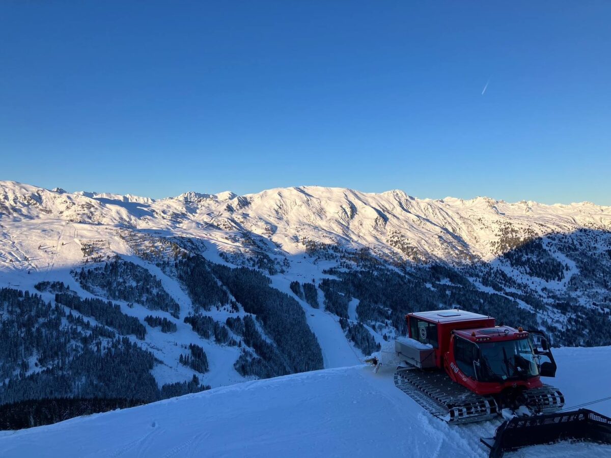
From Méribel Centre, the Saulire Express 1 and 2 gondolas climb to the Saulire (2,740 m); from Mottaret, the Pas du Lac 1 and 2 gondolas reach the same summit. This is the link to Courchevel, and home to two legends: the Mauduit, a red with more than 1,000 m of vertical down to Méribel, and the Couloir Tournier, which the resort calls the steepest black in the 3 Vallées (close to 75% in places). Lower down, the Altiport forest is gentle and sheltered, with the Piste des Inuits and the Piste des Animaux for children, and the Loze chairlift to the Col de la Loze (2,304 m), the second way to Courchevel.
The Tougnète and Roc de Fer side (right)
Opposite, the Tougnète 1 gondola leaves La Chaudanne, the lift hub of Méribel Centre, and the Tougnète 2 chairlift continues to the Tougnète (2,437 m), a link to Saint-Martin-de-Belleville and Les Menuires. Further along, the Olympic chairlift serves the Roc de Fer (2,294 m): the blue Roc de Fer, which hosted the 2015 World Cup Finals, and the black Face, the women’s downhill of the 1992 Albertville Olympics.
Mottaret and the head of the valley
Three high sectors meet at Mottaret. Straight ahead, the Mont Vallon gondola climbs from Plan des Mains to 2,952 m, the highest point in Méribel, beside the Plan de Tueda nature reserve (green dotted line, no skiing). To the right, the Plattières and Côte Brune gondolas lead to the Col de la Chambre (2,850 m) for Val Thorens and Les Menuires; the Bouquetin chairlift reaches 3 Marches (2,704 m), and the Combes 1, Combes 2 and Roc de Tougne chairlifts reach Mont de la Challe (2,573 m), both gateways to Les Menuires and Saint-Martin. To the left, Pas du Lac goes to Courchevel. As the highest of Méribel’s villages, Mottaret also has the most reliable snow at the bottom of the runs.
Symbols worth knowing
- A pink star marks a free lift: the beginner lifts at the foot of Mottaret and the Chalets gondola between the Hameau and the centre of Mottaret.
- Pink areas are beginner zones, yellow areas Ski & Fun zones (Yéti Park, Speedy Run), orange areas Ski & Challenge zones (Couloir Tournier, Bartavelle, Ibex). A triangle marked “5%” warns of a flat section, as on the blue Ours into Mottaret: keep your speed.
Méribel in figures, 2026-2027
| Figure | Méribel valley | Les 3 Vallées |
|---|---|---|
| Pistes | 150 km | 600 km |
| Runs | 77 on the official live board: 8 green, 29 blue, 30 red, 10 black | 337: 15% green, 41% blue, 33% red, 11% black |
| Lifts | 42 | 169 |
| Altitude | About 1,100 m (Les Allues) to 2,952 m (Mont Vallon) | 1,100 m to 3,230 m |
| Season | 5 December 2026 to 18 April 2027 | Links open 5 December 2026 to 18 April 2027 |
You will also read 71 runs for Méribel: the live board splits some long runs into sections (Mauduit 1, 2 and 3), hence 77. Either way, about half are green or blue. Val Thorens and Orelle open earlier (21 November 2026 to 2 May 2027), but the links with Méribel follow the 3 Vallées dates.
Six routes from the Hameau de Mottaret
All six start at the Hameau, above the centre of Mottaret, where the Vavril Ski apartment opens straight onto the snow. A short green glide takes you to the Plattières gondola and the Combes 1 chairlift; if you finish at the bottom of Mottaret, the free Chalets gondola, less than 25 metres from the residence, brings you back up.
1. First days on skis: the Hameau and the Yéti Park (beginners)
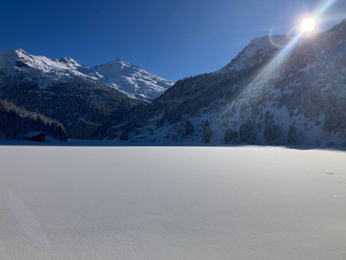
Start in the beginner areas at the foot of Mottaret, shaded pink on the map, where the lifts are free. Once you can stop and turn, move up to the Arolles drag lift and the green Easy Way, just above the Hameau, then take the Combes 1 chairlift to the Yéti Park, a wide, very easy green with igloos, talking tunnels and a secret cave. The green Little Himalaya brings you back towards the Hameau. If your children are in lessons, the ESF meets at the Hameau and you can watch them set off from the balcony (see our guide to ski schools in Méribel-Mottaret). Arolles and Combes need a pass: the Easy Rider map shows what the Mini Pass covers, and our ski pass guide gives the prices.
2. Your first long run: the Truite to Méribel (confident beginners)
After two or three days, the green Truite is the classic outing: it follows the valley from the foot of Mottaret down to La Chaudanne in Méribel Centre, and its snowmaking was renewed in spring 2026, which makes it more dependable early and late in the season. Have a hot chocolate in Méribel Centre, ride the Tougnète 1 gondola back up and turn off onto the green Perdrix, which brings you home to the Hameau. Leave in good time: on the current official schedule, Tougnète 1 closes at 16:30.
3. The big blue: Col de la Chambre and Lac de la Chambre (intermediates)
Take the Plattières gondola (some cabins have been decorated by the artist Lucas Beaufort this winter), follow the short blue to the Côte Brune gondola and ride up to the Col de la Chambre (2,850 m), Val Thorens just over the ridge. Come down the blue Lac de la Chambre, one of the longest runs in the 3 Vallées, to Plan des Mains. The Plan des Mains chairlift then takes you back up for the blues Rossignol and Sittelle, and the blue Martre brings you home to the Hameau. Families can add a few laps of Turn & Run, a blue family boardercross beside the snowpark, served by Plattières and by the Châtelet chairlift, back in service this winter.
4. Saulire, Mauduit and Tougnète (confident intermediates)
Morning on the Saulire side: Pas du Lac 1 and 2 take you up, Courchevel at your feet. Warm up on the reds Niverolle (reshaped and given snowmaking for 2026-2027) or Marcassin to the Pas du Lac mid-station, then the red Aigle back to Mottaret. When your legs are ready, go back up for the Mauduit, more than 1,000 m of vertical in one go down to Méribel Centre. After lunch, the Tougnète 1 gondola and Tougnète 2 chairlift take you to the Tougnète for the afternoon sun; the blues Crêtes and Faon, then the green Perdrix, bring you home.
5. Mont Vallon and the north faces (good skiers)
Be on one of the first Plattières cabins, take the blue Bouvreuil to Plan des Mains and the Mont Vallon gondola to 2,952 m. The descent the resort calls the longest in the 3 Vallées starts here: the red Combe du Vallon, about three kilometres of steady, often bumpy slope above the Lac de Tueda, then the blue Ours into Mottaret. The black Campagnol brings you back to Plan des Mains, and the Mûres Rouges chairlift does the same from the bottom of the Combe du Vallon, so you can lap Mont Vallon while the snow is at its best. Late morning, Combes 1, Combes 2 and the Roc de Tougne chairlift lead to the black Bartavelle, north-facing so the snow stays good; the red Julie nearby has been improved for this season. In the afternoon, try the Couloir Tournier from the Saulire, ride Saulire Express 2 back up from its mid-station and go home by the black Grande Rosière.
6. A 3 Vallées day: Val Thorens, with a timetable (good intermediates)
The easiest big day from Mottaret, because the way home is one lift and then a long blue.
- 9:00: Plattières, then the Côte Brune gondola to the Col de la Chambre.
- 9:45: the blue Pluviomètre leads straight to the centre of Val Thorens (2,300 m). On a clear day, the Cime Caron cable car (3,200 m) opens a 360° view over more than 350 summits.
- 12:30: lunch in Val Thorens.
- 15:00 to 15:30: be at the 3 Vallées VT4 or VT5 lifts, which bring you back to the Col de la Chambre.
- 16:00: the blue Lac de la Chambre (or the red Venturon) to Plan des Mains, the blue Ours to Mottaret, the Chalets gondola to the Hameau.
Courchevel instead? Pas du Lac 1 and 2 to the Saulire, then the long blue Creux to Courchevel 1850. The Saulire cable car or the Vizelle gondola take you back to the Saulire, and the reds Niverolle or Marcassin, then Aigle, to Mottaret: one for skiers at ease on reds. Saint-Martin or Les Menuires? Out by Bouquetin or Roc de Tougne; back from Saint-Martin with the Saint Martin 1 gondola and Saint Martin Express chairlift to the Tougnète, then Crêtes, Faon and Perdrix.
The routes at a glance
| Route | Level | Lifts | Runs | Back to the Hameau |
|---|---|---|---|---|
| 1. Hameau and Yéti Park | Beginner | Free beginner lifts, Arolles, Combes 1 | Easy Way, Yéti Park, Little Himalaya (green) | On skis, all day |
| 2. Truite to Méribel | Confident beginner | Tougnète 1 | Truite, Perdrix (green) | Tougnète 1 before 16:30 |
| 3. Col de la Chambre | Intermediate | Plattières, Côte Brune, Plan des Mains, Châtelet | Lac de la Chambre, Rossignol, Sittelle, Martre (blue) | Martre, on skis |
| 4. Saulire and Tougnète | Confident intermediate | Pas du Lac 1 and 2, Tougnète 1 and 2 | Niverolle, Marcassin, Aigle, Mauduit (red); Crêtes, Faon (blue) | Perdrix, on skis |
| 5. Mont Vallon and Roc de Tougne | Good skier | Plattières, Mont Vallon, Mûres Rouges, Combes 1 and 2, Roc de Tougne, Saulire Express 2 | Combe du Vallon, Julie (red); Campagnol, Bartavelle, Couloir Tournier, Grande Rosière (black) | Grande Rosière to Mottaret |
| 6. Val Thorens | Good intermediate | Plattières, Côte Brune, 3 Vallées VT4 or VT5 | Pluviomètre, Lac de la Chambre, Ours (blue) | On VT4 or VT5 by 15:30 |
Getting back on time
Lift times change through the season. At the time of writing, the official live board shows Méribel-side ski lifts closing between 16:15 and 16:50: 16:25 for Saulire Express 2, 16:30 for Tougnète 1, 16:35 for Tougnète 2. Times are also posted, with a clock, at the foot of every lift and in the app. Les 3 Vallées’ advice on getting home is what instructors tell their groups: plan the route the evening before, keep a margin (falls, queues, school holidays), and in bad weather stay in your own valley, as the links run along ridges above 2,000 m. Missed the last lift? Inter-resort buses and taxis will bring you back. From Mottaret, the usual trap is Méribel Centre: miss Tougnète 1 and you finish on the free Méribus shuttle, boots on.
FAQ
Where can I download the Méribel piste map as a PDF?
On the Les 3 Vallées ski area map page, which offers the Méribel PDF and the full 3 Vallées PDF. Méribel Tourisme’s documents page has both, plus the Easy Rider map for beginners. Paper copies are free at lift pass and tourist offices.
How many kilometres of pistes does Méribel have?
The Méribel valley has 150 km of pistes, from Les Allues to Mottaret, served by 42 lifts. A 3 Vallées pass opens 600 km of linked pistes and 169 lifts.
Can a beginner ski from Mottaret to Méribel Centre?
Yes: the green Truite runs from the foot of Mottaret down to La Chaudanne. To return, take the Tougnète 1 gondola, then the green Perdrix back to the Hameau.
Which lifts link Mottaret to Val Thorens and Courchevel?
For Val Thorens, the Plattières and Côte Brune gondolas to the Col de la Chambre, and back with the 3 Vallées VT4 or VT5. For Courchevel, the Pas du Lac 1 and 2 gondolas to the Saulire, and back by the Saulire cable car or the Vizelle gondola.
Is the Hameau a good base for skiing the 3 Vallées?
For a family, it is hard to beat: ski-in, ski-out, the ESF meeting point and the Ski & Fun zone at the Hameau, and the Val Thorens and Les Menuires links starting from Mottaret. Our comparison of Méribel-Mottaret and Méribel Centre sets out the differences.
Planning a week in Méribel this winter? The Vavril Ski apartment sleeps six to seven at the Hameau, with a covered car park, a ski room with a bench and direct access to the slopes. Check the availability calendar, then get in touch about your dates.